- Home
- /
- Argos Solutions
- /
- Argos Services
Argos Services
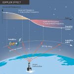
Data Collection
Argos Advantages:
- Low-power
- Miniature Transmitters
- Unlimited Data Plan (fixed rate)
- No charge when not used
Positionning
- GPS-free (or additional to GPS)
- Up to 250m accuracy
- Tamper-proof positionning
- Complimentary service
Monitoring Services
In addition to the basic data collection service, Argos offers a range of monitoring solutions for all your operational needs:


Backup Tracking
Transmission Monitoring


Geofencing
Underwater Beacon Monitoring


Sensor Alert
Moored Buoy Monitoring
All above services can be activated on any Argos platform. Alerts can be sent via email or SMS. Contact us for pricing & options.
Argos Advanced processing service
GTS processing
The Global Telecommunication System (GTS), is a network run by the World Meteorological Organization (WMO), to facilitate data exchange between national weather centers. Data from oceanographic instruments are important for the GTS, namely because they are used in national weather centers’ real-time weather forecasting models.
For over 30 years, CLS has worked closely with the WMO and JCOMM to ensure that Argos data are quality-controlled, put into WMO formats and posted to the GTS upon user request.
Reprocess your Argos tracks
Are you a long-time Argos user?
Do you have historical Argos data you want to use in publications?
- Exploit your rich historical Argos database to reanalyze the trajectories of your buoys and other oceanographic equipment
- Improve all your Argos trajectories by applying a Kalman smoother filter
- Retrieve your data in csv and kml formats
Extract oceanographic data
- Make a link with your buoy trajectory and its physical & biochemical environment
- Benefit from CLS’ 20 years of experience in satellite oceanographic data processing
- Be connected to the highest quality ocean & atmospheric models data servers in the world
Download all the data you want here
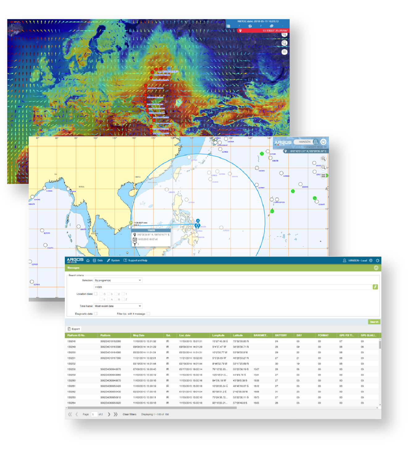
ArgosWeb
Argos users automatically get a free access to the online portal ArgosWeb, where they can securely check & download all their Data, manage their account, and map the positions of their beacons…and much more!
