- Home
- /
- Data
Data
For over 30 years, CLS has provided state-of-the-art ocean data sets to scientific and institutional clients. CLS proposes a range of online data visualization solutions, based on the type of data you want to view.
MetOcean data
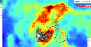
Enrich your geo-positional data with contextual information (weather, ocean currents…)
CLS has been processing satellite oceanographic data for more than 20 years and is connected to the highest quality atmosphere and ocean model data servers in the world (Copernicus, ECMWF, NOAA…). We can now provide metocean model data to our clients along any mobile trajectory.
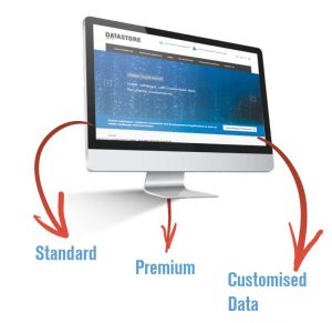
Data Store
Bringing CLS’s oceanography expertise to you!
With 100 in-house oceanographers and nearly 20 years as a recognized international expert, CLS provides access to state of- the-art metocean data to registered users via an online catalogue.
SeeWater
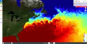
SeeWater is a fully customizable, online data visualization tool that displays a range of satellite-based ocean characteristics on a global map. SeeWater helps to choose visually which products and/or geographical regions will be pertinent for studies.
AIS & Sat-AIS
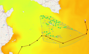
CLS is a trusted provider of AIS & SAT-AIS data to shipping companies and governments worldwide. CLS makes it possible to visualize and analyze the vessel traffic along your Argos/GPS tracks and therefore monitor the maritime traffic in the vicinity of your ocean buoy or tracked animal.
Extract the AIS data along your animal track to process this information yourself.
AVISO
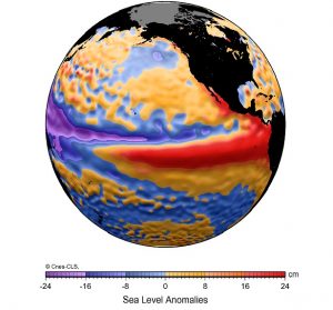
AVISO is an online portal that gives free access to satellite altimetry products such as sea surface height and other ocean indicators to registered users. All products are calibrated and validated by the international scientific community for the French Space Agency, CNES, or Copernicus Marine and Environment Monitoring Service (CMEMS).
Altimetry data serves a variety of useful applications such as oceanography, hydrology, climatology, glaciology and coastal monitoring.

